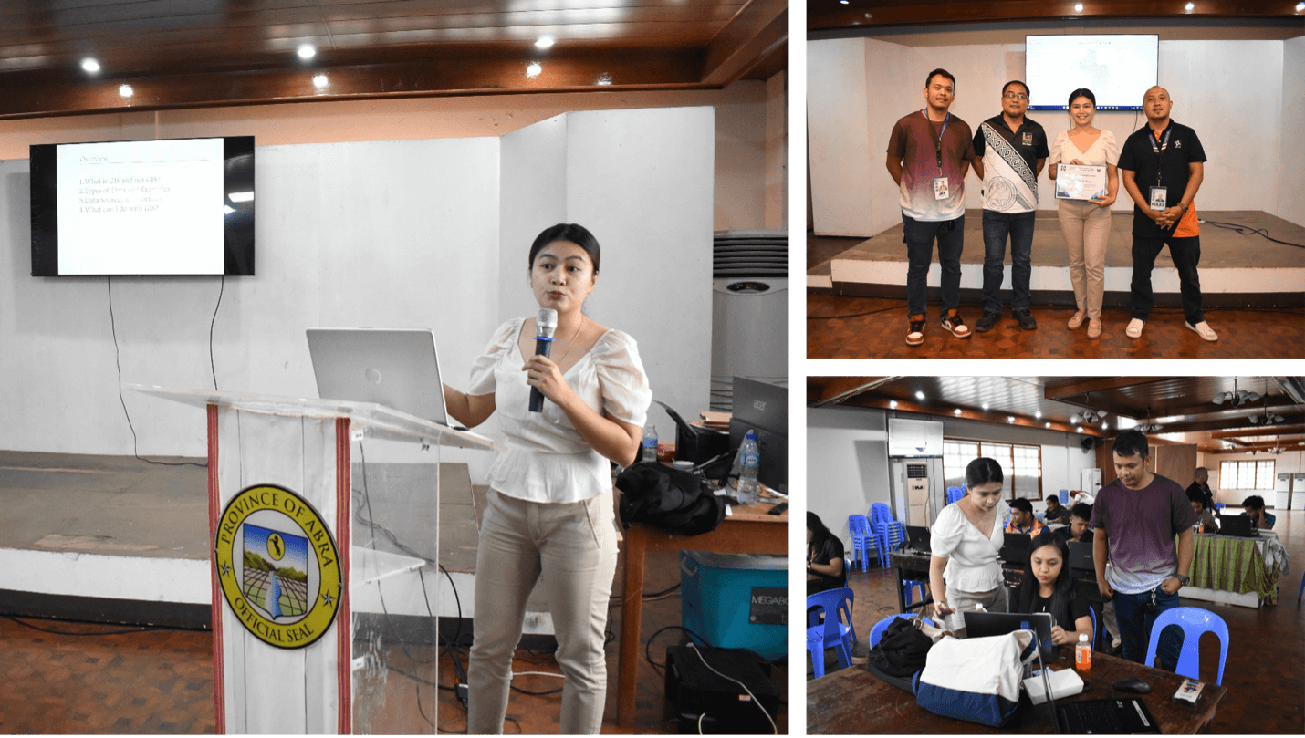
In line with its mandate to advance science and technology for community development, Mariano Marcos State University (MMSU) extended its expertise to local government units (LGUs) in Abra through the Training on LiDAR 2 (River Basin Mapping) held at the Social Hall of the Provincial Capitol Building on September 5, 2025.
Engr. Christine Mata, Chief of the MMSU Coastal Engineering Research and Development Center (CoastER), served as the resource person in the training organized by the Department of Science and Technology – Cordillera Administrative Region (DOST-CAR) through its Provincial Science and Technology Office (PSTO)-Abra.
During the training, Engr. Mata delivered lectures on Geographic Information System (GIS), Remote Sensing (RS), watershed delineation, and the applications of LiDAR technology in hazard mapping, resource planning, and watershed management. She likewise facilitated hands-on training using QGIS software, equipping participants with the necessary skills to analyze and apply geospatial techniques for planning, hazard mapping, and resource management.
The training followed the successful conduct of the GeoRiskPH orientation earlier in the week and is part of DOST’s continuing effort to capacitate LGUs in disaster preparedness and evidence-based planning. Following the activity, PSTO-Abra expressed their plan to hold further training on LiDAR applications in resource mapping, recognizing the growing relevance of geospatial technologies in local governance.